

Research by Patrick Nunn and Nicholas Reed found that Aboriginal oral histories describe walking to islands now kilometers offshore and forests under the sea. Sea level rose roughly 120 meters when glaciers melted at the end of the last ice age, drowning coastlines. At 21 different locations, these stories align with bathymetric data showing submerged landmasses. The researchers note these stories are preserved precisely because the ocean destroys physical evidence - oral memory became the only archive.
Aboriginal stories of submerged coastlines match geological data at 21 sites
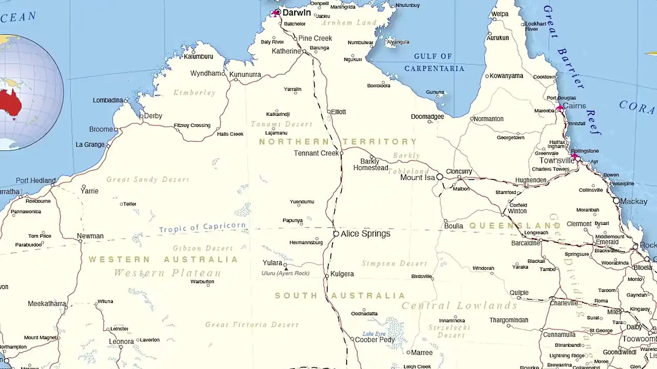
Site mentioned
📍 Kangaroo Island
Key facts
- Research by Patrick Nunn and Nicholas Reed published in Australian Geographer
- Stories describe walking to islands now kilometers offshore and forests under the sea
- Sea level rose approximately 120 meters when glaciers melted at the end of the last ice age
- Oral histories identify when Kangaroo Island was cut off from the mainland
- 21 different locations show oral history aligning with bathymetric data
- Communities accurately describe landmasses invisible since the early Neolithic
- The stories are preserved in human memory because the ocean destroys physical evidence
Sources
arxiv.org
Linked in video description
sapiens.org
Linked in video description
pubs.usgs.gov
Linked in video description
craterlakeinstitute.com
Linked in video description
Was this story useful?
Keep exploring
Every site on this page sits on the globe, and the people who research them are on the Discord.
3D Globe · Sites by country · Story Archive · Research Library · Weekly Journal · Search
AI-generated text · images from the original sources · always verify with the sources.