

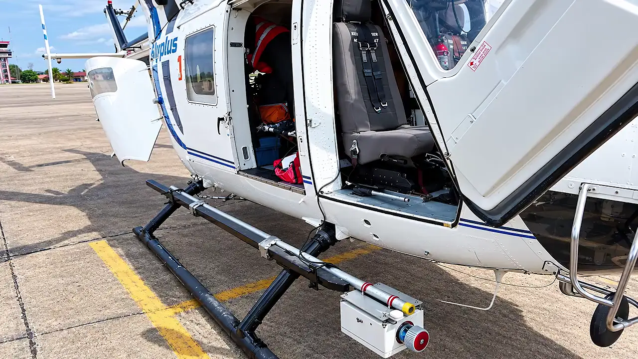
Fascinating! A 2022 study used airborne lidar over the Bolivian Amazon — laser pulses fired down from a helicopter, then modelled to strip away vegetation and reveal the bare terrain. The result: raised causeways running for kilometres, canals and reservoirs, and monumental platforms and pyramids up to about 22 m tall across Casarabe settlements (c. AD 500–1400). Two major centres, Cotoca and Landívar, cover roughly 315 and 147 hectares respectively. So much hidden in plain sight! 🛰️🏛️
2022 lidar study maps Casarabe settlements, causeways and pyramids in Bolivian Amazon
 BoliviaRemote Sensing
Site mentioned
Key facts
- People of the Casarabe culture built settlements across savanna and forest landscapes in the Bolivian Amazon between roughly AD 500 and 1400.
- The 2022 research used airborne lidar from a helicopter to model ground returns and produce terrain maps separating the ground from vegetation.
- The lidar maps revealed raised causeways extending for kilometres, along with canals and reservoirs forming water-management infrastructure.
- Monumental platforms and pyramid-like mounds stood within major settlements, with some reaching around 22 m in height.
- The researchers identified a connected, hierarchical settlement system. Cotoca covered approximately 315 hectares, while Landívar covered approximately 147 hectares.
- Lidar mapping made relationships such as causeway links between communities visible that were difficult to appreciate through ground survey.
Sources
Lasers reveal ancient urban sprawl hidden in the Amazonsciencenews.org
Lidar reveals pre-Hispanic low-density urbanism in the ...pubmed.ncbi.nlm.nih.gov
Lidar reveals pre-Hispanic low-density urbanism in the ...ancientinquiry.com
Was this story useful?
Keep exploring
Every site on this page sits on the globe, and the people who research them are on the Discord.
3D Globe · Sites by country · Story Archive · Research Library · Weekly Journal · Search
AI-generated text · images from the original sources · always verify with the sources.