

Remote sensing is quietly reshaping what we know about the ancient Amazon. A 2022 Nature study documented low-density urbanism in the Bolivian Amazon, with massive artificial platforms, U-shaped structures and earthen pyramids organised around two major centres, plus smaller settlements tied together by canals and raised causeways. 2024 LiDAR surveys in Ecuador's Upano Valley turned up comparable evidence — strongly backing the 16th-century chroniclers who described a crowded Amazon. 🛰️🏛️ The real finds are cool enough.
LiDAR and remote sensing reveal Amazonian urbanism backing 16th-century accounts
 BoliviaGeneral
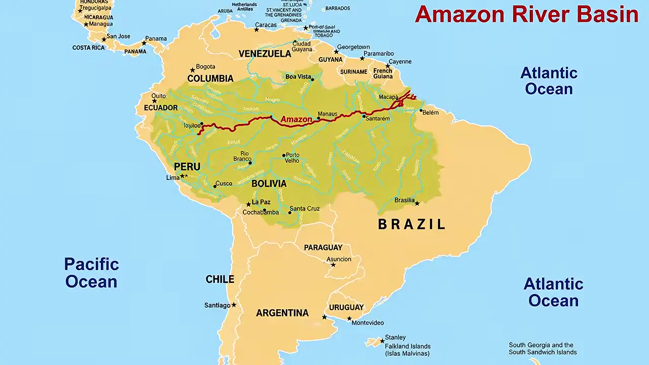
Site mentioned
Key facts
- 2022 Nature study documented low-density urbanism in the Bolivian Amazon
- Researchers found massive artificial platforms, U-shaped structures, earthen pyramids and other monumental features
- Monumental sites were organized around two major centres plus smaller settlements linked by canals and raised causeways
- Reservoirs and sophisticated water-management systems supported the settlement network
- 2024 LiDAR surveys in Ecuador's Upano Valley produced similar results
- LiDAR survey evidence is cited as support for the chroniclers' descriptions of densely settled Amazonia
Sources
web.as.uky.edu
Linked in video description
Was this story useful?
Keep exploring
Every site on this page sits on the globe, and the people who research them are on the Discord.
3D Globe · Sites by country · Story Archive · Research Library · Weekly Journal · Search
AI-generated text · images from the original sources · always verify with the sources.