

Satellite scans reveal multiple levels at Hawara at 40, 60, 80, and 100m depths. An atrium ~40m by 100m and central 44x44m chamber found. Tim Acres reported a 40m freestanding object. All unverified by excavation.
Satellite scanning technologies reveal deep structures
 EgyptRemote Sensing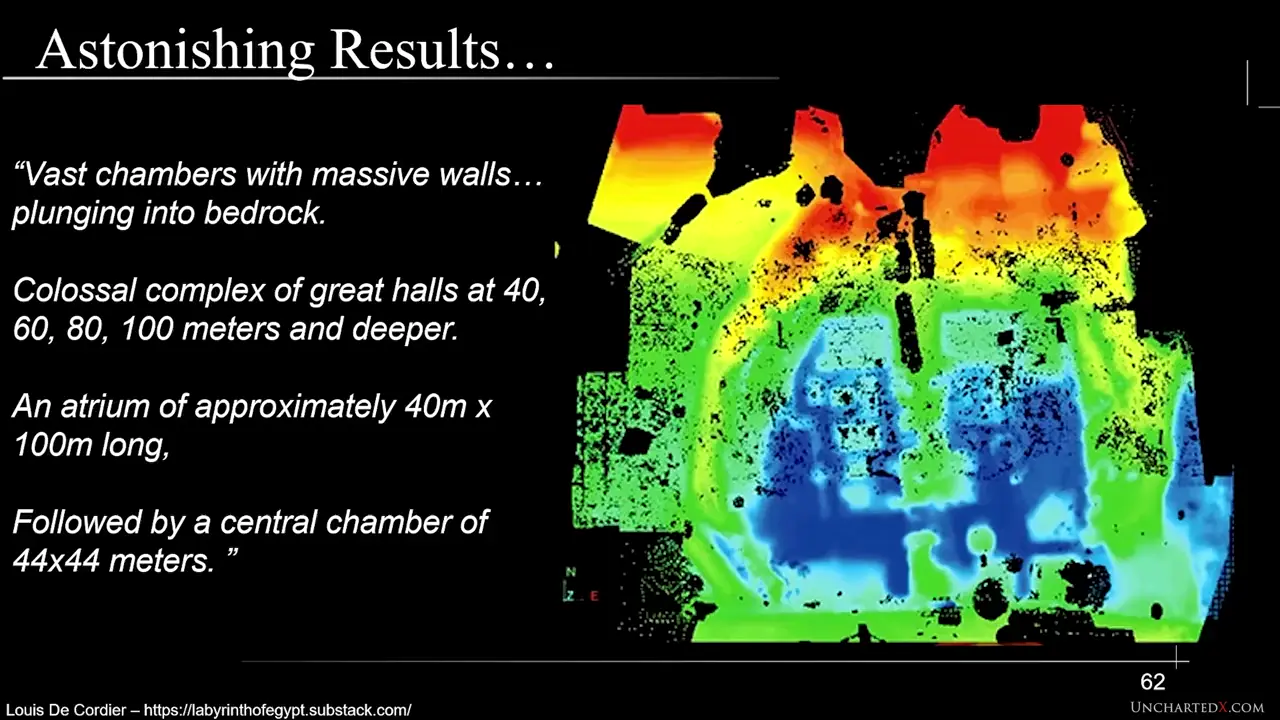
Site mentioned
Key facts
- Geoscan Systems claims to scan up to 6km deep using proprietary satellite technology
- Merlin Burrows uses high-frequency satellite images combined with seismic data
- Both found multiple levels at depths of 40, 60, 80, 100 meters
- Discovered an atrium of approximately 40m by 100m and central chamber of 44x44m
- Tim Acres reported a 40m long metallic freestanding object (named 'Dippy') at 50-60m depth
Sources
The Merlin Burrows scans II - by Louis De Cordier - Labyrinth of Egyptlabyrinthofegypt.substack.com
There it was, in full screen: the satellite scan of Hawara, now in full color and 3D. “You think you see it,” Tim said, “but you don't!” He had ...
The Why Files: Operation Podcast - 620: The Lost Labyrinth of Hawarapodscripts.co
It covered 3 million square feet, 70 acres of rooms and corridors stacked on multiple levels. ... 2015 satellite imaging revealed four levels and ...
Labyrinth of Egypt - Wikipediaen.wikipedia.org
The Labyrinth of Egypt was a structure, or temple, built south of Amenemhat III's pyramid at Hawara. Not much is known about its use, but it was probably a ...
The Lost Egyptian Labyrinth of Hawara - The Ancient Connectiontheancientconnection.com
In 2008, archaeologists discovered the remains of a “lost labyrinth” underground beneath the pyramid of Hawara.
The Merlin Burrows Scans I - by Louis De Cordier - Labyrinth of Egyptlabyrinthofegypt.substack.com
... Tim creates a 3D image of Hawara's depths from a satellite scanning only the surface.” He began: “Picture a pan filled with water. Drop ...
Was this story useful?
Keep exploring
Every site on this page sits on the globe, and the people who research them are on the Discord.
3D Globe · Sites by country · Story Archive · Research Library · Weekly Journal · Search
AI-generated text · images from the original sources · always verify with the sources.