

Sac Balam, the Lacandon Maya's 'White Jaguar City,' was a rebel refuge with 300+ houses. Researchers used a 327-year-old letter and GIS modeling of 17th-century chronicles to locate it in the Lacandon jungle. Excavations uncovered structures, obsidian tools, ceramics, and a Spanish church.
Sac Balam: Maya resistance city found via GIS modeling
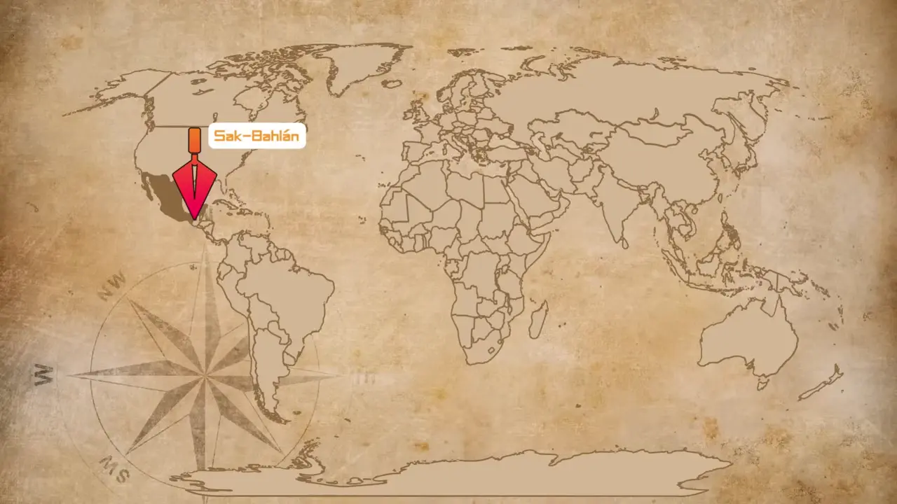
Site mentioned
📍 Sac Balam
Key facts
- Sac Balam (Sac Balam) was the 'White Jaguar City' of the Lacandon Maya, established in the late 1600s
- Located in the depths of the Yucatan jungle as a refuge for Maya rebels during Spanish conquest
- Inhabited by hundreds of people in over 300 houses
- Conquered by Spanish in 1695 and renamed 'City of Sorrowsof the Lacandon'
- Abandoned in 1712 when colonial authorities relocated all inhabitants
- Archaeologists used 17th-century Spanish chronicles fed into predictive GIS model
- Model factored in terrain, vegetation, waterways, and colonial-era travel speeds
- Found in Blue Mountain Biosphere Reserve along Mexico-Guatemala border
- Discovered stone structures, obsidian tools, ceramics, and ruins of Spanish church
- Two field seasons completed with preliminary excavations confirming occupation during resistance period
- Future plans include LiDAR technology to map structures beneath jungle canopy
Sources
discoveringegypt.com
Linked in video description
livescience.com
Linked in video description
degruyterbrill.com
Linked in video description
archaeology.org
Linked in video description
Was this story useful?
Keep exploring
Every site on this page sits on the globe, and the people who research them are on the Discord.
3D Globe · Sites by country · Story Archive · Research Library · Weekly Journal · Search
AI-generated text · images from the original sources · always verify with the sources.