

Kay-Nah-Chi-Wah-Nung in southwestern Ontario holds at least 17 mounds along 3 km of river, most about 20 ft tall and one near 40 ft. Originally sealed with a smooth clay plaster cap, the biggest reads more like an earthen platform than a simple mound. Laurel culture, 300 BCE–1100 CE. 🏺
Rainy River mounds in Ontario reached 40 ft under clay caps
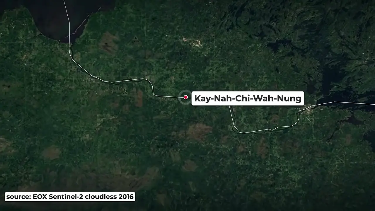
Site mentioned
📍 Kay-Nah-Chi-Wah-Nung (Rainy River Mounds)🌍 Show on the globe
Key facts
- The Rainy River site holds at least 17 burial mounds spread along a 3 km stretch of the river in southwestern Ontario, above the US border.
- Most mounds stand about 20 ft tall; one rises to roughly 40 ft.
- In their original state the mounds were capped with a smooth layer of clay plaster; the presenter argues that a 40 ft clay-capped platform merits the designation 'earthen pyramid' rather than a simple mound.
- The site was renamed Kay-Nah-Chi-Wah-Nung (Rainy River Mounds) in 1998; before that it was known as the Manito Mounds, a name given during 1960s excavations that also triggered government protection of the site.
- Archaeologist Walter Kenyon oversaw the 1960s removal of thousands of artifacts and a few skeletons, delivered to the Royal Ontario Museum.
- Kenyon went on to excavate further burial mounds along the Canada-US border and was arrested at the Grimsby site in 1977; the resulting court case produced stronger laws protecting First Nations patrimony in Canada.
- The Kay-Nah-Chi-Wah-Nung (Rainy River Mounds) Historical Centre and Museum was built in 1987 and is owned and managed by the Rainy River First Nations.
- The centre maintains a 3 km trail, five museum galleries, and a lab holding more than 10,000 artifacts, most repatriated from Kenyon's collections at the Royal Ontario Museum.
- The site museum states ancestors occupied the area for 8,000 years; the first inhabitants made copper tools and hunted game with atlatls.
- The Laurel culture built the first pyramid mounds between 300 BCE and 1100 CE and lived in villages nearby; the later Blackduck culture built lower, linear mound groups until European contact.
- Continuous habitation is attributed to the site's microclimate: south-facing slopes allowed modest farming and the rapids never froze, permitting year-round fishing.
Sources
Kay-Nah-Chi-Wah-Nungen.wikipedia.org
Kay-Nah-Chi-Wah-Nung has the largest concentration of earthwork burial mounds in Canada. The mounds were built on river terraces along the north side of the ...
Kay-Nah-Chi-Wah-Nung | Short Docscbc.ca
Kay-Nah-Chi-Wah-Nung is a sacred burial mound site in Northwestern Ontario. Part of a land claim in the 1980s and 90s, it's now a source of cultural pride ...
Kay-Nah-Chi-Wah-Nung National Historic Site of Canadapc.gc.ca
The site contains 15 burial mounds and the archaeological remains of some 30 village sites. Heritage Value. Kay-Nah-Chi-Wah-Nung was declared a National ...
Home - Manitou Mounds | Manitou Moundsmanitoumounds.com
Kay-Nah-Chi-Wah-Nung was declared a National Historic Site in 1970. Encompassing close to four kilometers of shoreline, today's archaeologists now know that the ...
Kay-Nah-Chi-Wah-Nung (Stratton) - Whichmuseumwhichmuseum.com
The Kay-Nah-Chi-Wah-Nung Historical Centre, also known as Manitou Mounds, is a significant site of early habitation and ceremonial burial in Canada.
Was this story useful?
Keep exploring
Every site on this page sits on the globe, and the people who research them are on the Discord.
3D Globe · Sites by country · Story Archive · Research Library · Weekly Journal · Search
AI-generated text · images from the original sources · always verify with the sources.