

In 2008, the Mataha Expedition led by Belgian artist Louis de Cordier used ground-penetrating radar at Hawara. The scans revealed an extensive underground grid of walls and chambers, suggesting the lost labyrinth exists beneath the site. 📡🗺️
Matahar expedition discovers labyrinth underground
 EgyptSurvey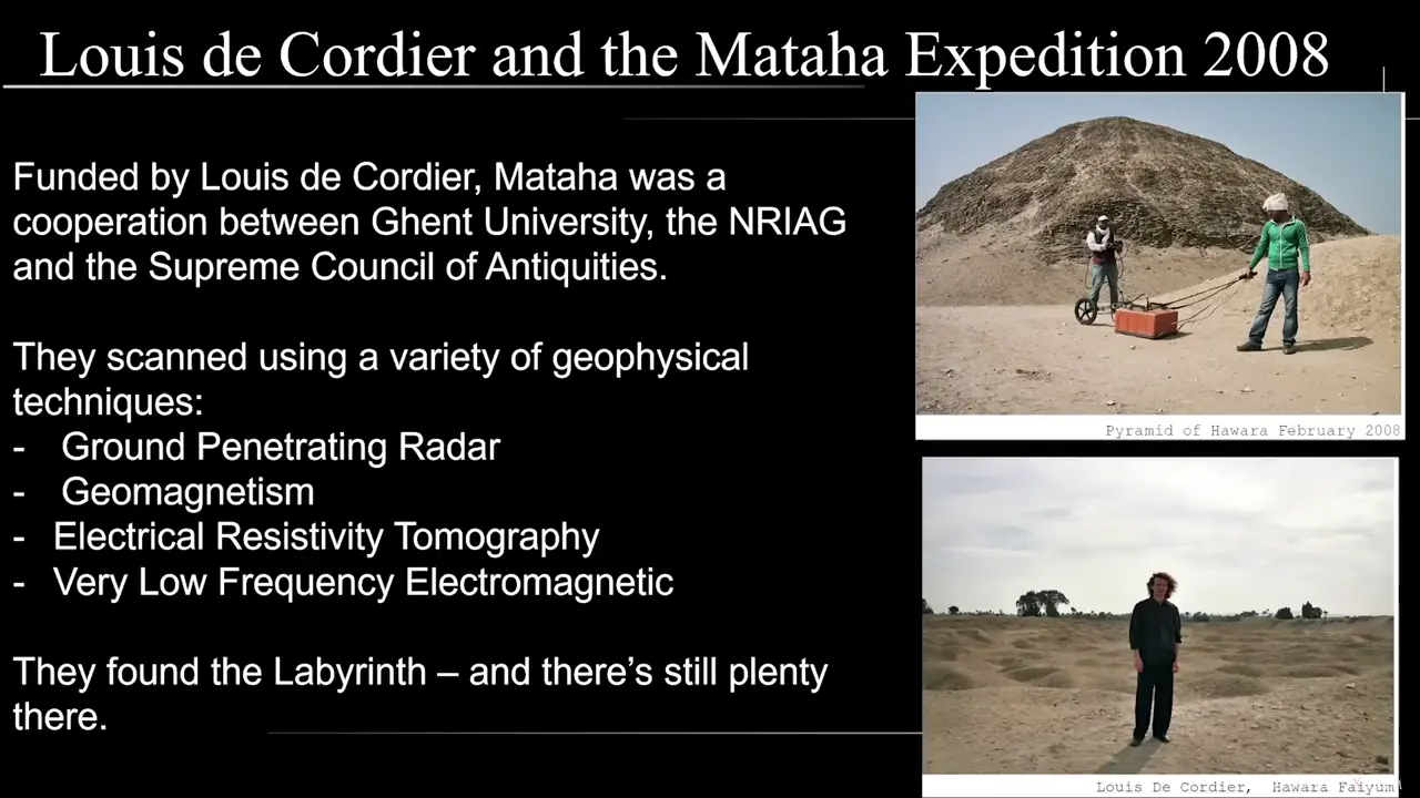
Site mentioned
Key facts
- 2008 Matahar Expedition led by Louis Dordier used ground penetrating radar, geomagnetism, and seismic tomography
- Found the labyrinth still exists underground at 8-12 meters depth
- Scanned areas on both east and west sides of the Barabi Canal
- Results show grid structure of gigantic size made of high resistivity material (granite)
- Underground area covers several hectares with vertical walls forming closed rooms
- Discovery confirmed classical author reports about the labyrinth's existence
Sources
The Mataha-Expedition Part I - by Louis De Cordierlabyrinthofegypt.substack.com
Dedicated to astronomy and geophysics, NRIAG played a central role in the 2008 Mataha Expedition at Hawara, led by Belgian artist Louis de ...
[PDF] Mataha Expedition - Labyrinth of Egypt - UnchartedXunchartedx.com
Bringing the highest level of technology to unlock the secrets of the past. The sand of. Hawara was scanned in 2008 by the Belgian Egyptian expedition team.
Egypt: How mystery was solved after 'lost labyrinth' foundexpress.co.uk
“These same areas were scanned in 2008, using ground-penetrating radar, by the Mataha Expedition, a collaboration between Egyptian ...
The Mataha Expedition - by Louis De Cordier - Labyrinth of Egyptlabyrinthofegypt.substack.com
The Mataha Expedition was a groundbreaking 2008 geo-archaeological survey conducted at Hawara, Egypt ; Using Ground Penetrating Radar (GPR), the ...
How VR revived an important piece of human history - Duverseduverse.ae
... Hawara Pyramid in Faiyum Egypt. The Mataha expedition led by the Belgian artist Louis de Cordier attempted in 2008 to locate it using ground penetrating radar.
Was this story useful?
Keep exploring
Every site on this page sits on the globe, and the people who research them are on the Discord.
3D Globe · Sites by country · Story Archive · Research Library · Weekly Journal · Search
AI-generated text · images from the original sources · always verify with the sources.