

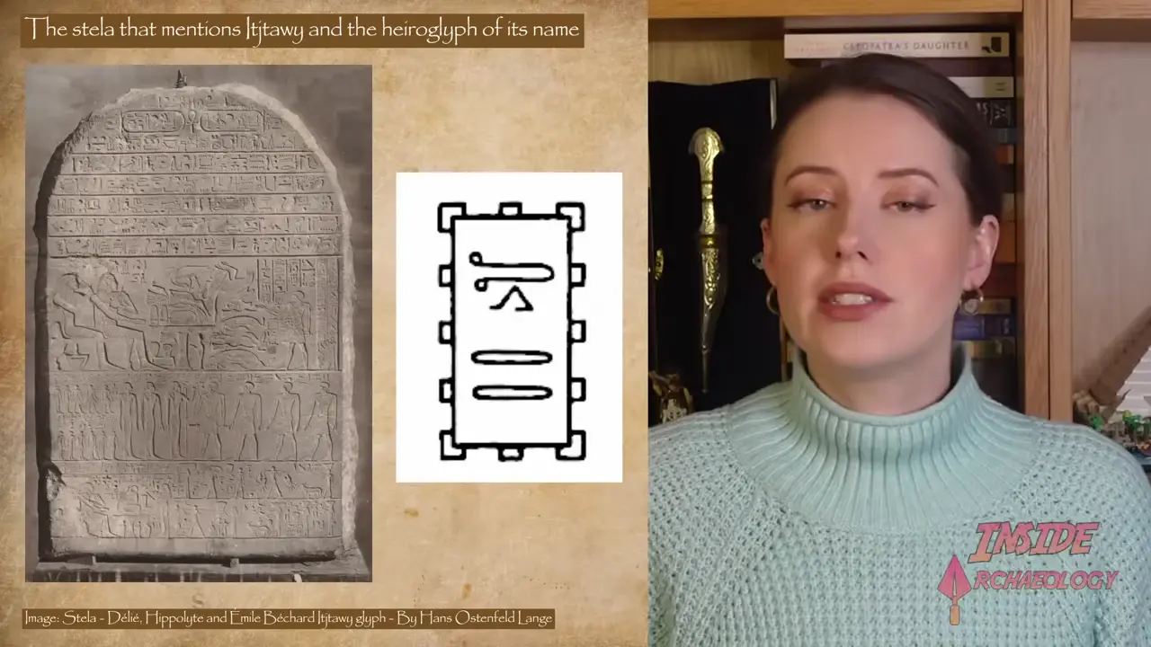
Lost Egyptian capital Itjtawy found via satellite remote sensing. Itjtawy was the capital of Egypt during the 12th and 13th dynasties of the Middle Kingdom period over 4,000 years ago Built by Amenemhat I in his 20th regnal year around 1960 BCE Name translates to 'Seizer of the Two Lands'

Space archaeology using satellite imaging is helping narrow the search for Egypt's lost Middle Kingdom capital Itjtawy. Research teams are tracing ancient Nile channels to pinpoint the ancient city, which served as Egypt's capital during the 12th and 13th dynasties. 🏛️

Key facts:

- Itjtawy was Egypt's capital during the 12th and 13th dynasties of the Middle Kingdom period over 4,000 years ago

- Founded by Amenemhat I around 1960-1980 BCE in his 20th regnal year (dates vary by scholarly source and chronology)

- Name's meaning remains debated; likely relates to its role as the rulers' seat of power

- Believed to lie beneath cultivated fields east of the pyramids of Lisht

- Satellite imagery and geophysical surveys are narrowing the search area near the traditional boundary of Upper and Lower Egypt

- Location remains a subject of ongoing archaeological investigation

Key Facts

  • Itjtawy was the capital of Egypt during the 12th and 13th dynasties of the Middle Kingdom period over 4,000 years ago
  • Built by Amenemhat I in his 20th regnal year around 1960 BCE
  • Name translates to 'Seizer of the Two Lands'
  • Location unknown but believed to lie beneath cultivated fields east of the pyramids of Lisht
  • Search area narrowed to 4x6 kilometers near the traditional boundary of Upper and Lower Egypt
  • Dr. Sarah Parkak used satellite remote sensing to map ancient Nile course
  • Soil cores at 5m depth revealed Middle Kingdom pottery and jeweler's workshop with carnelian, quartz, and agate

Related site: Itjtawy — view location, images, and history on the Ancient Nerds map.