

LiDAR and GPR technology are revolutionizing archaeology! By combining historic 1500s journals with these remote sensing tools, researchers can now detect buried geometric formations without digging. The team uses 3D scanning to document findings and virtually reconstruct entire lost settlements. This tech is truly reigniting archaeological exploration!
Lidar and GPR technology enables forensic rediscovery of forgotten 16th-century colony
Key facts
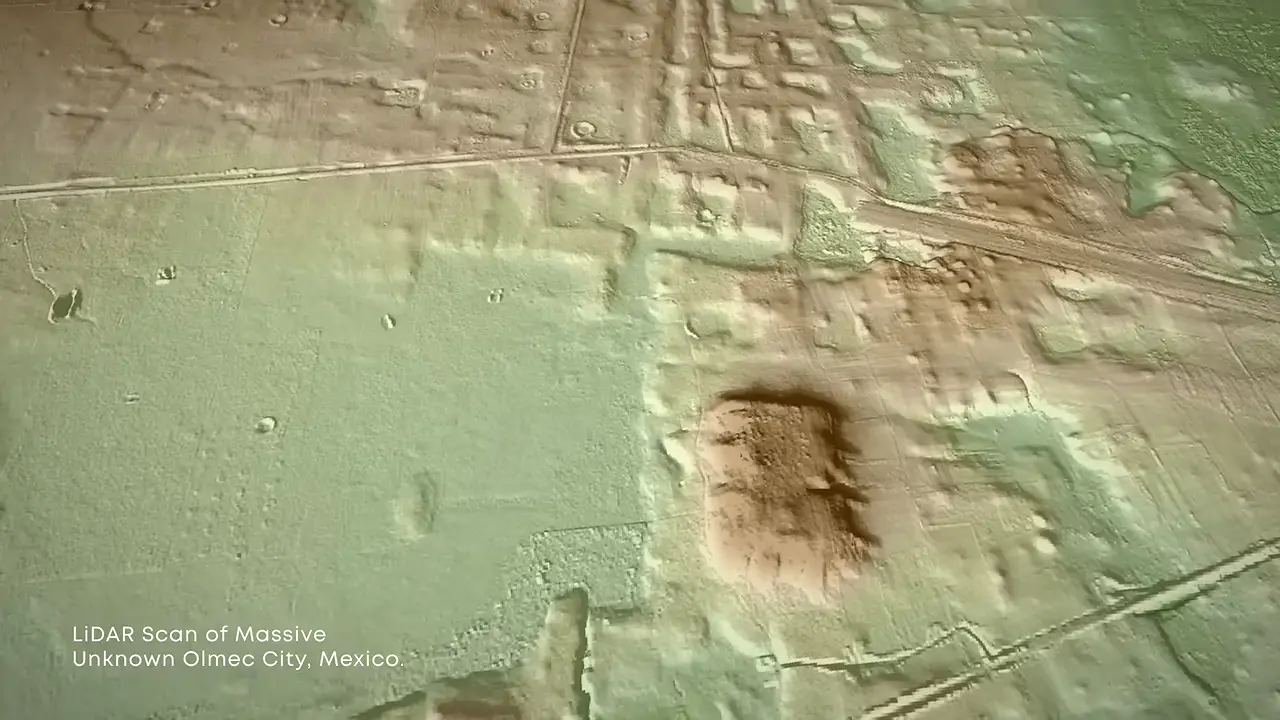
- LiDAR (Light Detection and Ranging) and GPR (Ground Penetrating Radar) revealed buried geometric formations
- Researchers reconciled historic journals with modern remote sensing technology
- Excavation involved removing vegetation to expose stone foundation corners
- Team uses 3D image scanning to document and virtually reconstruct the entire colony
- Lidar and GPR are described as technologies that are 'completely reigniting archaeological exploration'
Sources
bibliotecadigital.umag.cl
Linked in video description
bibliotecanacionaldigital.gob.cl
Linked in video description
monumentos.gob.cl
Linked in video description
Was this story useful?
Keep exploring
Every site on this page sits on the globe, and the people who research them are on the Discord.
3D Globe · Sites by country · Story Archive · Research Library · Weekly Journal · Search
AI-generated text · images from the original sources · always verify with the sources.