

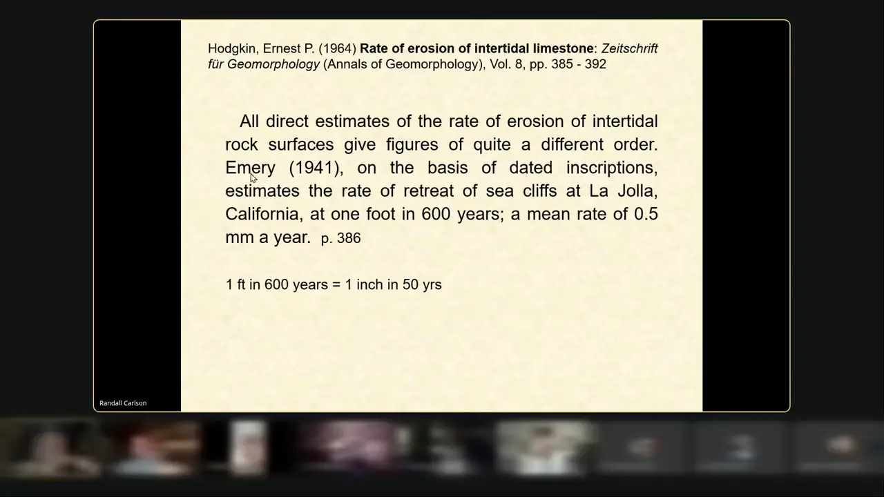
Measured coastal erosion gives hard numbers. Emery (1941) used dated gravestones and cornerstones at La Jolla, California, to estimate roughly 1 foot of cliff retreat per 600 years—about 0.5 mm a year. A 1964 Point Peron study used stainless-steel pegs driven in 1953: 9 mm, 4 mm and 2 mm of loss at three heights by 1962. Across roughly nine years, that is about 1.0, 0.4 and 0.2 mm a year at each level, averaging about 0.6 mm a year. The video links undercutting at Delimara, Malta, to an Eemian high sea level about 120,000 years ago, then applies the intertidal rates to the Sphinx and argues that either much more water or much more time than the Old Kingdom would be needed. 🌊
La Jolla cliff retreat and Point Peron peg erosion rates
Key facts
- Emery (1941) used dated inscriptions on gravestones and building cornerstones to estimate La Jolla sea-cliff retreat at 1 foot per 600 years, equivalent to about 0.5 mm per year or 1 inch per 50 years.
- A 1964 Point Peron study used pairs of stainless-steel rods, each 2 inches long and 3/16 inch in diameter, driven at three levels above the platform in August 1953.
- By 1962, the lowest, middle and highest rods recorded losses of 9 mm, 4 mm and 2 mm. Over roughly nine years, these represent rates of about 1.0, 0.4 and 0.2 mm per year, with a mean near 0.6 mm per year—not 1 mm per year.
- The Point Peron shore rocks are mainly hard, secondarily cemented aeolianite, with a wave-cut platform about 20 m wide behind a typical notch sheltered from full wave impact.
- The 1964 study observed that although the erosive process had been much discussed, surprisingly little attention had been paid to its rate.
- The video presents the Delimara, Malta, undercutting and wave-cut-platform examples as evidence involving a former high sea level, which it associates with the Eemian interglacial about 120,000 years ago and roughly 10,000 years of erosion.
- The video applies the intertidal erosion rates to the Sphinx and argues that either much more water or much more time than the Old Kingdom would be required to produce the observed recession.
Sources
Region | Peron Naturalisteperonnaturaliste.org.au
The Peron Naturaliste coast is predominantly sand overlying and abutting various relict geological features, principally Tamala limestone formations that mark ...
notes on the geology of penguin island and cape peron ...library.dbca.wa.gov.au
The calcrete lies on an erosion surface of the limestone, formed after the limestone had completely lithified. The Small Islands. Bird Island ...
Early geological investigations of the Pleistocene Tamala ...pubs.geoscienceworld.org
To explain the process of cementation of detrital particles Péron drew on his observations of 'remarkable incrustations', which he had noted in many localities ...
Limestone Formation | Locally known as Point Peron, the ...flickr.com
Limestone Formation. Locally known as Point Peron, the cape is noted for its protected beaches, limestone cliffs, reefs and panoramic views.
Shoreline Movement Study, Point Peron, Rockinghamhandsoffpointperon.com
Erosion of this section of coast has been occurring in recent years. The DEC have requested for the Department of. Transport (DoT), DoT ...
Was this story useful?
Keep exploring
Every site on this page sits on the globe, and the people who research them are on the Discord.
3D Globe · Sites by country · Story Archive · Research Library · Weekly Journal · Search
AI-generated text · images from the original sources · always verify with the sources.