

Lidar in Bolivia exposed the true scale of Casarabe culture settlements (AD 500-1400): platforms and pyramids linked by causeways stretching up to 4 km, plus canals and reservoirs engineered for water and maize farming. Researchers call it low-density tropical urbanism — centers scattered across the landscape, not one solid block. Related 2023 work ties Amazonian earthworks to dozens of domesticated tree species, hinting at long-term forest management. 🌾💧
Bolivian lidar uncovers Casarabe causeways stretching 4 km
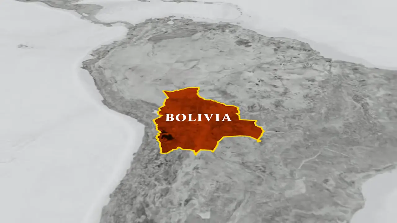
Site mentioned
📍 Enclosed native settlements, cultivation terraces and cairn field south west of Mounthooly🌍 Show on the globe
Key facts
- A lidar study in Bolivia revealed the scale of settlements of the Casarabe culture, which flourished between AD 500 and 1400
- People raised platforms and pyramids and connected centers with causeways stretching 4 km
- Canals and reservoirs formed part of an engineered system for managing water
- Researchers described the pattern as low-density tropical urbanism, with centers spread across a landscape rather than one continuous built-up block
- Research in the Casarabe region identified drainage and water-storage systems supporting maize cultivation
- A study published in 2023 found associations between ancient Amazonian earthworks and dozens of domesticated tree species, indicating long-term forest management
Sources
Lasers reveal ancient urban sprawl hidden in the Amazonsciencenews.org
Prümers' team conducted lidar surveys over six parts of ancient Casarabe territory. The lidar data revealed 26 sites, 11 of them previously ...
Lidar reveals pre-Hispanic low-density urbanism in the ...nature.com
by H Prümers · 2022 · Cited by 240 — Here we present lidar data of sites belonging to the Casarabe culture (around ad 500 to ad 1400) in the Llanos de Mojos savannah–forest mosaic, ...
Early urbanism found in the Amazon - Archaeology Wikiarchaeology.wiki
LIDAR mapping reveals the architecture of the settlement's large squares. Stepped platforms topped by U-shaped structures, rectangular platform ...
Lidar reveals pre-Hispanic low-density urbanism in the ...pubmed.ncbi.nlm.nih.gov
by H Prümers · 2022 · Cited by 240 — Our results indicate that the Casarabe-culture settlement pattern represents a type of tropical low-density urbanism that has not previously been described in ...
DAI - LIDAR reveals pre-Hispanic low-density urbanism in ...dainst.org
The known Casarabe culture area spans approximately 4,500 km2, with one of the large settlement sites covering an area of approximately 500 km2.
Was this story useful?
Keep exploring
Every site on this page sits on the globe, and the people who research them are on the Discord.
3D Globe · Sites by country · Story Archive · Research Library · Weekly Journal · Search
AI-generated text · images from the original sources · always verify with the sources.