

Spanish explorers in 1584 founded Puerto del Hambre (Famine Pot) on Chile's Strait of Magellan. Historical records confirm that Pedro Sarmiento de Gamboa established the City of King Philip (Ciudad del Rey Don Felipe) at this site. Today, the ruins of the church built by the 1584 settlers remain visible, marking the location of this ill-fated Spanish colonial settlement that ended tragically when inhabitants perished from starvation. The site lies roughly halfway between Chile's northern border and the South Pole.
Archaeologists rediscover lost 1584 Spanish colony using LiDAR, GPR and original 16th-century journals
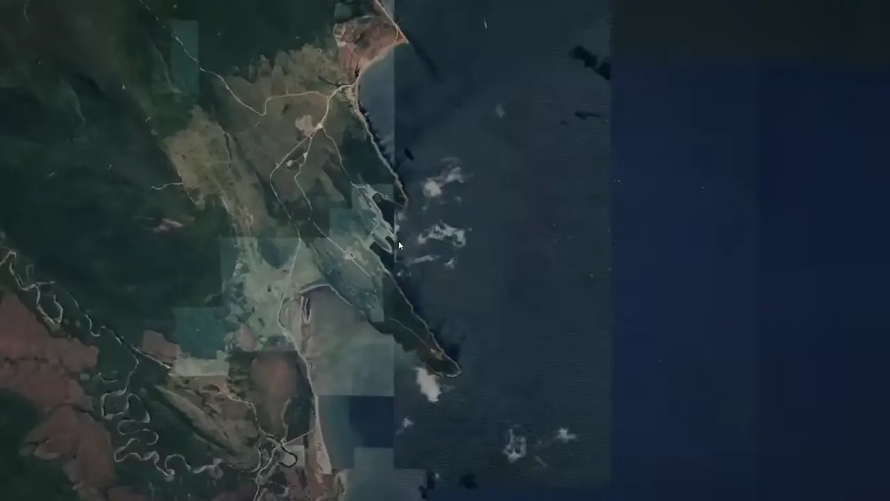
Site mentioned
📍 Famine Pot🌍 Show on the globe
Key facts
- Survey team led by Soledad González Díaz and Simon Erbina used 1500s diaries to locate the approximate site
- LiDAR and GPR revealed geometric formations buried beneath vegetation
- Physical excavation uncovered a rectangular mason stone foundation
- The original 1584 silver Spanish coin placed by Pedro Sarmiento de Gamboa was found still sitting on the foundation stone
- Team is expanding excavations and running LiDAR and 3D scans to virtually reconstruct the colony
Sources
bibliotecadigital.umag.cl
Linked in video description
bibliotecanacionaldigital.gob.cl
Linked in video description
monumentos.gob.cl
Linked in video description
Was this story useful?
Keep exploring
Every site on this page sits on the globe, and the people who research them are on the Discord.
3D Globe · Sites by country · Story Archive · Research Library · Weekly Journal · Search
AI-generated text · images from the original sources · always verify with the sources.