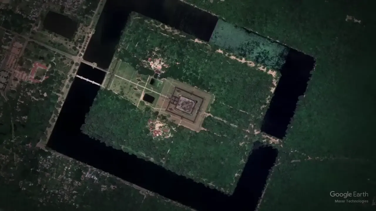
LiDAR surveys revealed ~154 sq miles (~400 sq km) of hidden urban landscape around Angkor Wat — roads, canals, reservoirs & agricultural grids supporting nearly 1 million people. The Greater Angkor region was the world's largest medieval empire in the 12th century. At equinox, the sun rises directly over the central tower from the entrance. 🌅🏛️
Key facts:
- Built from millions of precisely fitted stone blocks with nearly invisible joints, no obvious mortar, barely visible tool marks
- Surrounded by an immense moat, contains temples, terraces, galleries, pillars, statues, countless carvings
- Conventional dating places construction in the 12th century by Khmer King Suryavarman II as a Hindu temple dedicated to Vishnu
Sources
NASA Radar Reveals Hidden Remains at Ancient Angkorjpl.nasa.govNew evidence of a prehistoric civilization and remnants of ancient temples in Angkor, Cambodia have been discovered by researchers.
Laser Scanning Reveals New Parts of an Ancient Cambodian Citytechnologyreview.comAirborne laser scanning has revealed the remnants of a vast urban structure in the vicinity of Angkor Wat, a famous temple in Cambodia.
Uncovering archaeological landscapes at Angkor using lidar - PMCpmc.ncbi.nlm.nih.govHere we describe the use of airborne laser scanning (lidar) technology to create high-precision digital elevation models of the ground surface beneath the ...
Laser Scans Reveal Massive Khmer Cities Hidden in the ...smithsonianmag.comUsing Lidar technology, researchers are discovering the extent of the medieval Khmer empire.
Airborne laser spots ancient city complex of roads, canals hidden ...globalnews.caThe laser scanning revealed a previously undocumented formal urban planned landscape integrating the 1,200-year-old temples. The airborne lasers ...
AI-generated text · images from the original sources · always verify with the sources.