

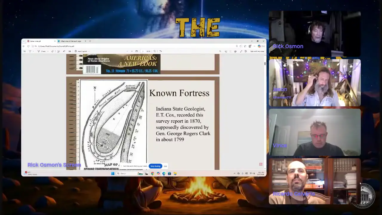
Backbone Fish Hatchery (ruins) in Indiana reveals a remarkable stone fortress: walls clad in 20-ton limestone slabs (some 800 lbs each), stretching 580 feet long, 25 feet wide, and 12 feet tall with a 75-foot tall section. The fort commanded views of 20 miles of the Ohio River. Stone box graves dating to 600-1100 AD mirror Welsh burial practices. Similar fortress lines extend across Indiana. Unfortunately, a railroad destroyed much of the site in 1894, using the stone for the Jeffersonville-Louisville bridge.
Ancient stone fort discovered at Backbone Fish Hatchery (ruins) in Indiana with multiple wall segmentslost_civilization
Key facts
- Backbone Fish Hatchery (ruins) site in Indiana features stone walls clad in limestone slabs (20 tons each, some weighing 800 lbs)
- Wall is 580 feet long, 20 feet wide, and 12 feet tall with 75-foot tall section
- Site served as fortress with oversight of approximately 20 miles of Ohio River
- Ancient quarry identified nearby for limestone extraction
- Stone box graves on site date to approximately 600-1100 AD, similar to Welsh burial practices
- Line of similar fortresses identified across Indiana from Miamisburg to Charles Town
- Railroad destroyed the site in 1894, using stone to build Jeffersonville-Louisville bridge
- Water balance system hypothesized for moving materials uphill on the hilltop
- No evidence of mining tailings found despite search for industrial evidence
Site mentioned
📍 Backbone Fish Hatchery (ruins)🌍 Show on the globe
Sources
Devil's Backbone Open Space | Larimer Countylarimer.gov
You can find 4 layers of sedimentary rock at Devil's Backbone Open Space representing different prehistoric eras. Drinking water is available at the ...
Devil's Backbone Hike, Shades State Park - State of Indiana - IN.govevents.in.gov
Learn about the geology that formed it while hiking this very rugged trail. Devil's Backbone is a very narrow ridge atop two very steep cliffs.
Devil's Backbone (rock formation) - Wikipediaen.wikipedia.org
Devil's Backbone is a rock formation and peninsula formed by the flow of Fourteen Mile Creek into the Ohio River, and is currently situated in Charlestown ...
504. Map of a stone fortification and moundscdm16066.contentdm.oclc.org
E. T. Cox, the Indiana State Geologist, reported on his findings at the Devil's Backbone, in an 1874 article, of the remains of an old stone fortification with ...
Devil's Backbone, Crawfordsville, Indiana - Hiking Projecthikingproject.com
Incredible sandstone walkway perched 100 feet above two valleys on both sides. A landmark like this is incredibly rare for this region.
Keep exploring
Every site on this page sits on the globe, and the people who research them are on the Discord.
3D Globe · Sites by country · Story Archive · Research Library · Weekly Journal · Search
AI-generated text · images from the original sources · always verify with the sources.